

December 2021
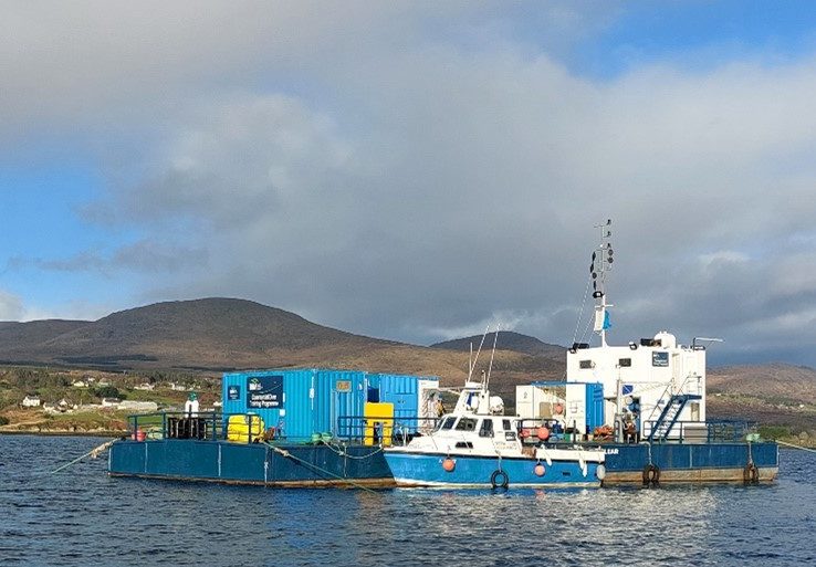
STREAM marine sensors (MTU and WIT) and a weather station will be deployed in the channel between the Beara Peninsula and Bere Island in Bantry Bay in cooperation with Bord Iascaigh Mhara (BIM). The channel there contains marine aquaculture sites, including mussel (Mytilus edulis), oyster (Crassostrea gigas), and salmon (Salmo salar) farms. BIM has kindly provided access to their new innovative diving barge in Castletownbere. The BIM barge that includes a “decompression chamber, surface supplied diver unit, and welfare accommodation is unique as it is run by a hybrid battery-powered system that has, so far, offset significant carbon emissions and resulted in cost savings” according to Captain Shane Begley (BIM). The depth at which the STREAM sensors will be deployed will range between 10 to 20 m.
Figure 1 shows the location of the BIM National Fisheries College (NFC), where a STREAM weather station will be established and the site of the BIM Dive barge where STREAM sensors and MTU innovative pump are to be installed.
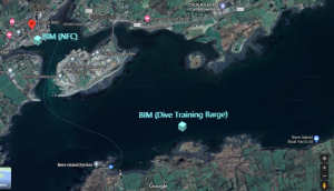
Figure 1. Location of BIM (NFC) Castletownbere and the BIM dive barge location where STREAM sensors are to be deployed.
Figure 2 shows Dr. J O’ Mahony and Cpt. S. Begley BIM outside the BIM NFC where the STREAM weather station is to be located.
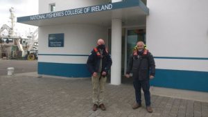
Figure 2. Dr Joe O’ Mahony (WIT) and Captain Shane Begley (outside the BIM National Fisheries College November 2021).
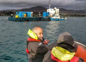
Figure 3. The BIM dive barge moored in the channel and Cpt. Shane Begley is in the foreground.
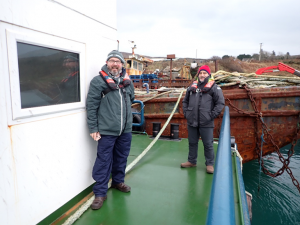
Figure 4. Dr Ambrose Furey (MTU) and Cpt. Shane Begley BIM (December 2021).
Please click here to access a video showing the site visit to the BIM diving barge in December 2021.